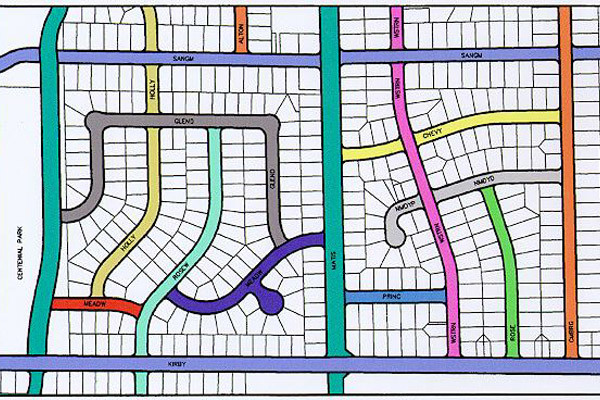
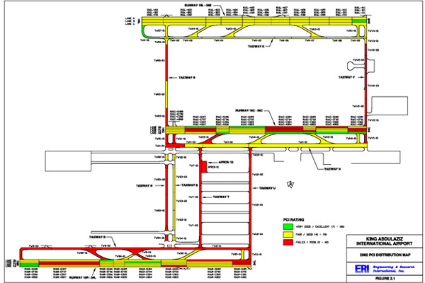
ERI offers state-of-the-art solutions for Geographic Information System (GIS) needs using ESRI ArcGIS software. The pavement inventory including Pavement Condition Index (PCI), FWD, GPR, IRI, Skid, pavement maintenance and other data contained in the PMS software can be shown graphically. ERI has also linked the MicroPAVER PMS software with ArcGIS.


